Star Maps
Star Maps
CONTACT US
Observers


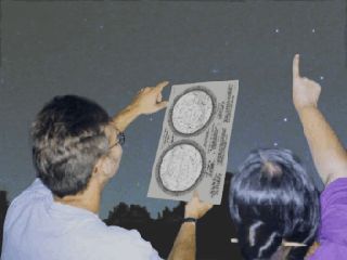
See our Star Map Pads below

We are pleased to announce that our Star Maps come "Recommended" by astronomy publications, teachers and school boards in both the United States and Canada.

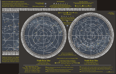
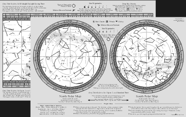
How beginners look at and learn about the sky?         Generally we look up from the horizon. So we need a star map that will show an undistorted horizon. It is impossible for circular planispheres to show a true picture of the low constellations. As planispheres, our maps will show what stars will be visible on any night of the year and hour of the night. However unlike the circular designs, they do not have the troublesome distortions inherent in the circular versions and they display more useful information without clutter.

These maps show the sky visible from the USA, Canada, Caribbean, Europe and Asia. A detailed view (59K) of the colour map shows the area around the Constellation of Crux.

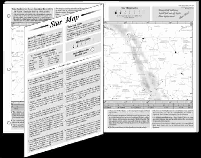
Learn the stars while you eat! These are 11 x 17 inch double sided star maps printed on heavy bond paper and laminated to endure evenings of heavy dew and repeated wipes with a damp cloth. They are excellent for learning the sky and for use as a table mat.


(Best for daytime studies)

The Square Logo Colour Map
(Best for use under the night sky)

The Square Logo Black and White Map

The Maps Show:

There are also suggestions for easy observing projects and the dates of major meteor showers.


Reviews


Prices:


CONTACT US


EDUCATORS - Map Pads!      

Map Pads For large classes, we have a more economical star map available in a pad. The north polar chart is on the second side of each sheet along with instructions and project ideas. The rectangular map has most of the information as the laminated B&W star map.

There are 40 pre-punched sheets per pad. The maps are sized so they can be folded into 11 x 8 1/2 inches to fit a note book. For educational notes, go here.

The Square Logo

Price:

CONTACT US

#46 R8 Lombardy, Ontario, CANADA, K0G 1L0

HOME